
Special Flight Operations Certificate
_______________________________________________________________________________________________________________________________________________________________________________________________________________________________________________________________________________________________________________________________________________________________________________________________________________________________________________________________________________________________________________________________________________________________________________________________________________________________________
I am a registered Restricted UAV Operator in Alberta, Saskatchewan, and Manitoba.
I hold a Restricted Radio Operator Certificate and Private Pilot's License

SFOC
Certified
Drone Services
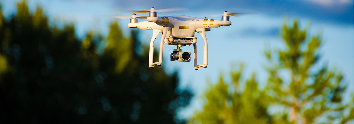
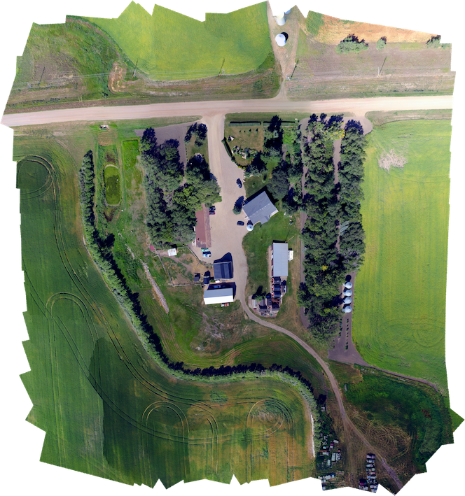
Utilizing a customized DJI Phantom 3 Professional Unmanned Aerial Vehicle (UAV) to provide Agricultural Crop Analysis, Surveying, Aerial Photography, and Inspections.
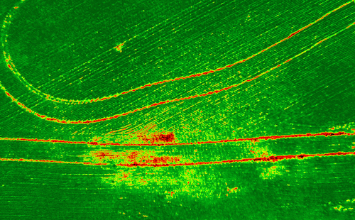
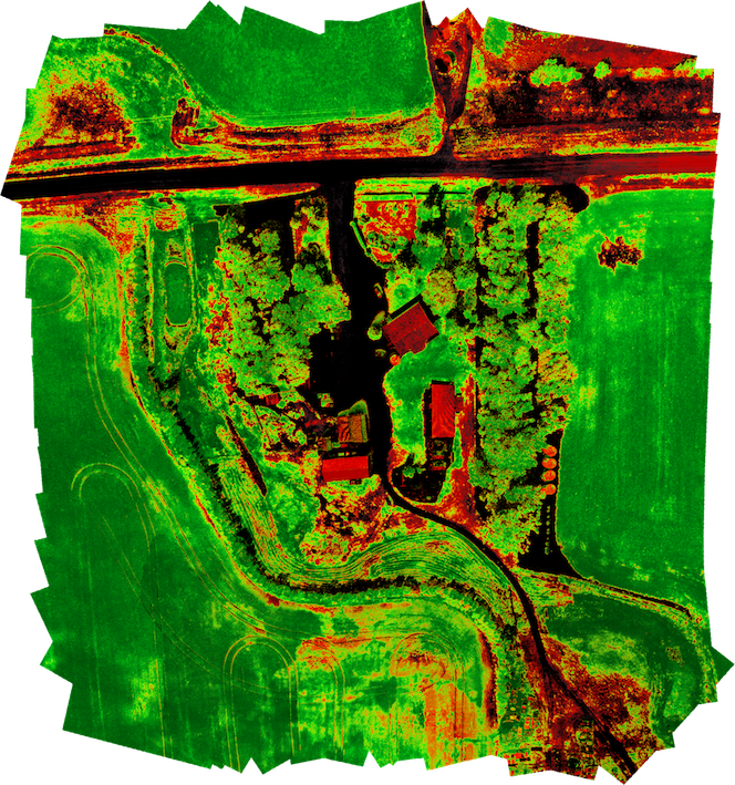
SEE MORE WITH NDVI
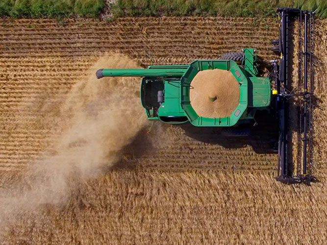
AGRICULTURAL ANALYSIS
Visual and IR (InfraRed) images can
be captured with a VNIR camera to monitor crop health without disturbing the field.
The Normalized Difference Vegetation Index is a graphical indicator based on InfraRed and Visual imagery to determine the density of vegetation.
All Rights Reserved. D. Peters 2016
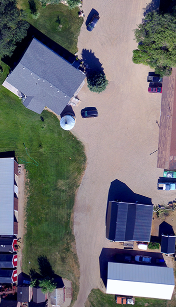


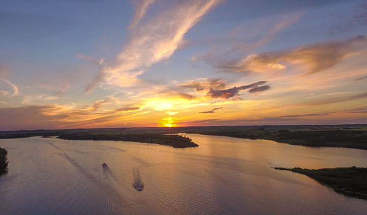
AERIAL PHOTOGRAPHY
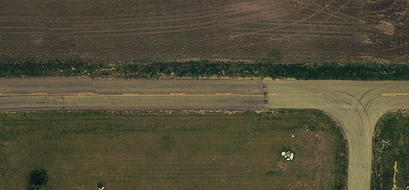
Using a Sony EXMOR 12MP camera to capture stunning aerial photographs and videos.
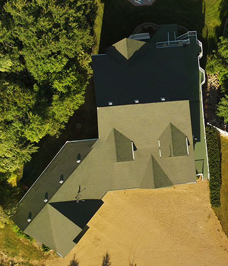
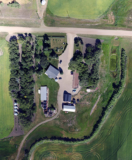
AERIAL INSPECTIONS
UAV's can be utilized to inspect shingles, roadways, and map submerged objects in waterways.
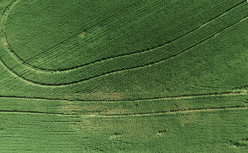
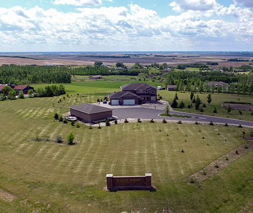
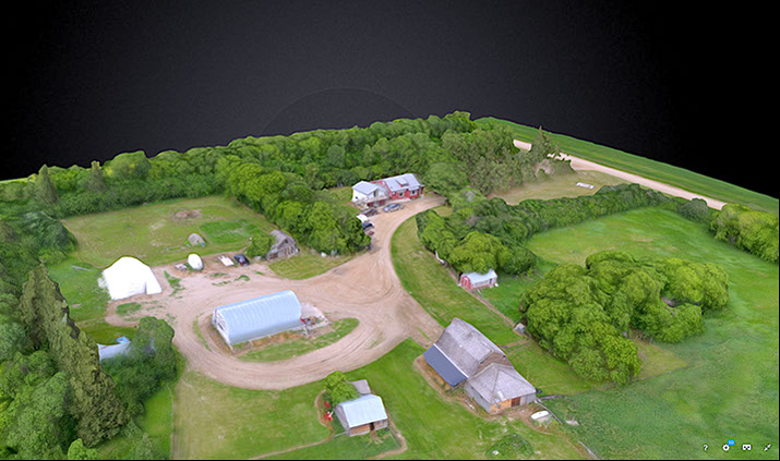
SURVEYING
Photographs can be stitched into a 2D, 3D, or topographical maps, with resolutions higher than 1/4" per pixel.
Contact: info@DannoPeters.ca
DannoPeters.ca
©DannoPeters.ca 2012-2017